Tech Specs
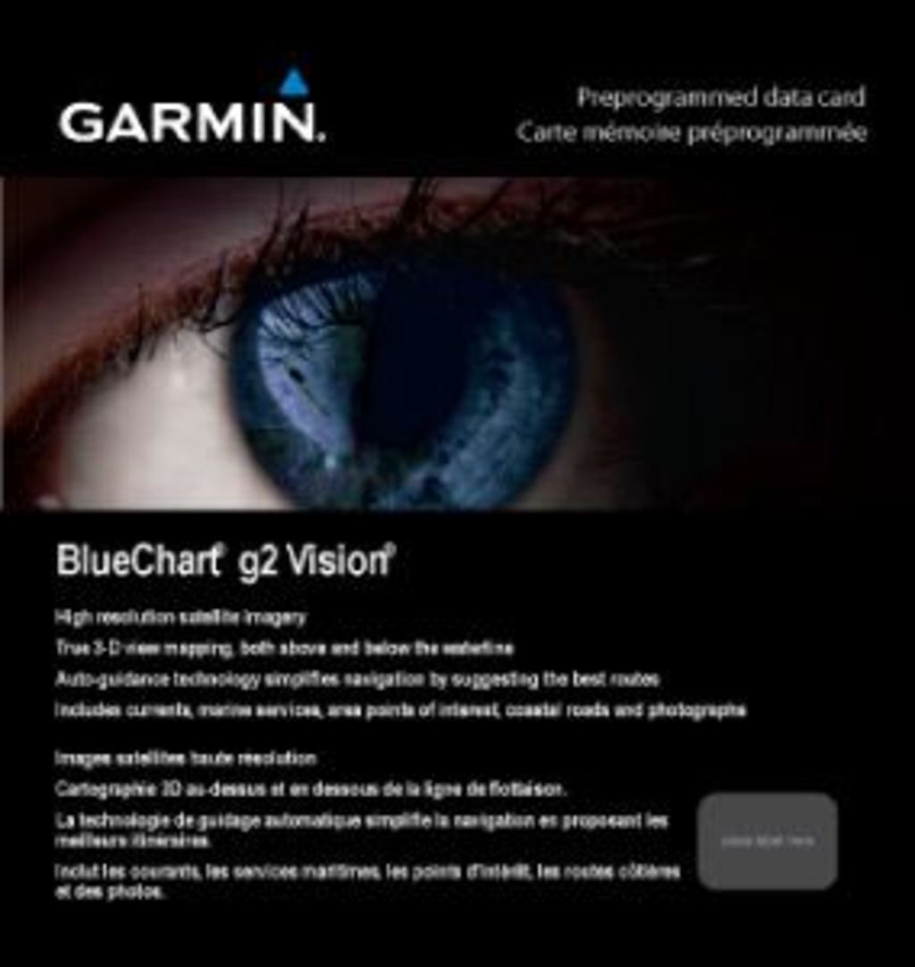
Garmin Bluechart G2 Vision New York (010-C0705-00)
Explore the waters of New York like never before with Garmin's Bluechart G2 Vision. This cutting-edge marine charting software offers an extensive array of features designed to enhance your navigational experience.
Key Features:
- Detailed Charting: Experience shaded depth contours, coastlines, spot soundings, navigational aids (navaids), port plans, wrecks, and obstructions for comprehensive marine navigation.
- Seamless Zoom Levels: Enjoy seamless transitions between zoom levels and exceptional continuity across chart boundaries for effortless navigation.
- High-Resolution Imagery: Benefit from high-resolution satellite imagery that provides a realistic view of both land and water, making your journey more intuitive.
- Aerial Photos: Access aerial photographs of ports, harbors, marinas, waterways, navigational landmarks, and other points of interest (POIs) for better situational awareness.
- Auto Guidance Technology: Utilize Auto Guidance technology to search chart data and suggest the best passage to your desired destination, ensuring efficient travel.
- 3D Perspectives: Choose between MarinerEye view for a 3-D perspective from above and FishEye view for an underwater look at the sea floor, both aiding in precise positioning.
- Safety Shading: Enhance your safety with contour shading for all depth contours shallower than your predefined safe depths, giving you peace of mind while navigating.
- Fishing Charts: Optimize your fishing trips with specialized charts that provide bottom contours and depth soundings with reduced visual clutter.
- Route Planning: Plan and organize your routes easily from your computer with HomePort™ (sold separately).
Coverage:
This charting package covers an extensive area from Providence to New York, including Narragansett Bay, all of Long Island, and the entire Hudson River, as well as New York Harbor through Perth Amboy and Brick Township.
Upgrade your navigation today with the Garmin Bluechart G2 Vision New York and experience the waters like never before!
In The Box
Manual & Warranty
Do you have an old GPS unit lying around? The GPS Nation Trade In and Up program is a great way to trade in your old and used GPS for credit towards a new GPS. The choice is entirely yours! We’ve made the process simple and streamlined. Follow these simple steps, and you will be on your way to receiving credit towards your brand new GPS!
1. Get a quote
To get your free quote, provide your GPS type, manufacturer, model, and condition. Within 24 hours, you will receive a quote for the trade-in value of your current product. The GPS trade-in/trade-up form is at the bottom of this page.
2. Ship your product(s) for trade
After accepting our offer, pack your product(s) safely and ship them to us using the pre-paid shipping label provided to you. We will provide a confirmation email when your trade-in arrives at our warehouse. You have 30 days from the date you complete your on-line trade to ship the product to GPS Nation.
3. Make your purchase
Once we receive your product at our warehouse and we validate the stated condition, we will send you a confirmation email. If you elect to receive credit towards a new GPS at gpsnation.com, your store credit will be issued, and you are free to make your purchase.
Reviews
Ask a Question
Tech Specs
Garmin Bluechart G2 Vision New York (010-C0705-00)
Explore the waters of New York like never before with Garmin's Bluechart G2 Vision. This cutting-edge marine charting software offers an extensive array of features designed to enhance your navigational experience.
Key Features:
- Detailed Charting: Experience shaded depth contours, coastlines, spot soundings, navigational aids (navaids), port plans, wrecks, and obstructions for comprehensive marine navigation.
- Seamless Zoom Levels: Enjoy seamless transitions between zoom levels and exceptional continuity across chart boundaries for effortless navigation.
- High-Resolution Imagery: Benefit from high-resolution satellite imagery that provides a realistic view of both land and water, making your journey more intuitive.
- Aerial Photos: Access aerial photographs of ports, harbors, marinas, waterways, navigational landmarks, and other points of interest (POIs) for better situational awareness.
- Auto Guidance Technology: Utilize Auto Guidance technology to search chart data and suggest the best passage to your desired destination, ensuring efficient travel.
- 3D Perspectives: Choose between MarinerEye view for a 3-D perspective from above and FishEye view for an underwater look at the sea floor, both aiding in precise positioning.
- Safety Shading: Enhance your safety with contour shading for all depth contours shallower than your predefined safe depths, giving you peace of mind while navigating.
- Fishing Charts: Optimize your fishing trips with specialized charts that provide bottom contours and depth soundings with reduced visual clutter.
- Route Planning: Plan and organize your routes easily from your computer with HomePort™ (sold separately).
Coverage:
This charting package covers an extensive area from Providence to New York, including Narragansett Bay, all of Long Island, and the entire Hudson River, as well as New York Harbor through Perth Amboy and Brick Township.
Upgrade your navigation today with the Garmin Bluechart G2 Vision New York and experience the waters like never before!
In The Box
Manual & Warranty
Trade-In Program
Do you have an old GPS unit lying around? The GPS Nation Trade In and Up program is a great way to trade in your old and used GPS for credit towards a new GPS. The choice is entirely yours! We’ve made the process simple and streamlined. Follow these simple steps, and you will be on your way to receiving credit towards your brand new GPS!
1. Get a quote
To get your free quote, provide your GPS type, manufacturer, model, and condition. Within 24 hours, you will receive a quote for the trade-in value of your current product. The GPS trade-in/trade-up form is at the bottom of this page.
2. Ship your product(s) for trade
After accepting our offer, pack your product(s) safely and ship them to us using the pre-paid shipping label provided to you. We will provide a confirmation email when your trade-in arrives at our warehouse. You have 30 days from the date you complete your on-line trade to ship the product to GPS Nation.
3. Make your purchase
Once we receive your product at our warehouse and we validate the stated condition, we will send you a confirmation email. If you elect to receive credit towards a new GPS at gpsnation.com, your store credit will be issued, and you are free to make your purchase.
Overview
Garmin Bluechart G2 Vision New York (010-C0705-00)
Explore the waters of New York like never before with Garmin's Bluechart G2 Vision. This cutting-edge marine charting software offers an extensive array of features designed to enhance your navigational experience.
Key Features:
- Detailed Charting: Experience shaded depth contours, coastlines, spot soundings, navigational aids (navaids), port plans, wrecks, and obstructions for comprehensive marine navigation.
- Seamless Zoom Levels: Enjoy seamless transitions between zoom levels and exceptional continuity across chart boundaries for effortless navigation.
- High-Resolution Imagery: Benefit from high-resolution satellite imagery that provides a realistic view of both land and water, making your journey more intuitive.
- Aerial Photos: Access aerial photographs of ports, harbors, marinas, waterways, navigational landmarks, and other points of interest (POIs) for better situational awareness.
- Auto Guidance Technology: Utilize Auto Guidance technology to search chart data and suggest the best passage to your desired destination, ensuring efficient travel.
- 3D Perspectives: Choose between MarinerEye view for a 3-D perspective from above and FishEye view for an underwater look at the sea floor, both aiding in precise positioning.
- Safety Shading: Enhance your safety with contour shading for all depth contours shallower than your predefined safe depths, giving you peace of mind while navigating.
- Fishing Charts: Optimize your fishing trips with specialized charts that provide bottom contours and depth soundings with reduced visual clutter.
- Route Planning: Plan and organize your routes easily from your computer with HomePort™ (sold separately).
Coverage:
This charting package covers an extensive area from Providence to New York, including Narragansett Bay, all of Long Island, and the entire Hudson River, as well as New York Harbor through Perth Amboy and Brick Township.
Upgrade your navigation today with the Garmin Bluechart G2 Vision New York and experience the waters like never before!


 Garmin Warranty